Best starting point
Campground profile
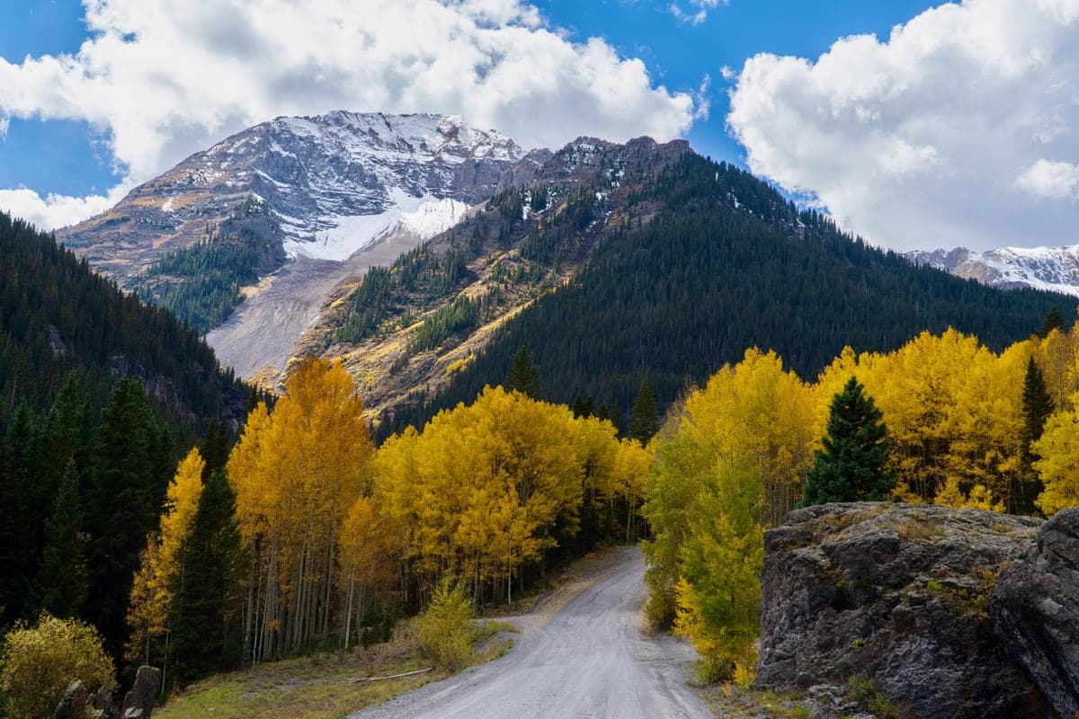
Ouray Ranger District mapped dispersed roads
U.S. Forest Service
- Camping style
- Dispersed camping area
- Access
- Access varies by route
Ouray Ranger District mapped dispersed roads
A map-led planning pathway for suitable dispersed-camping roads in the Ouray Ranger District.
DispersedRoute-dependent
Important details
Managed by: U.S. Forest Service
Access: Route-dependent—verify the exact road for your vehicle
Verify public ownership, the current district MVUM and camping orders, seasonal access, mining and private-property boundaries, vehicle clearance, closures and fire restrictions. There is no occupancy or road-condition feed.
Trip readiness: No trip date selected; operating season, campsite availability, and date-specific conditions were not checked.
Before you go
- Check your dates and reserve if needed.
- Check current road, fire and weather conditions.
- Choose a legal backup before leaving.