Best starting point
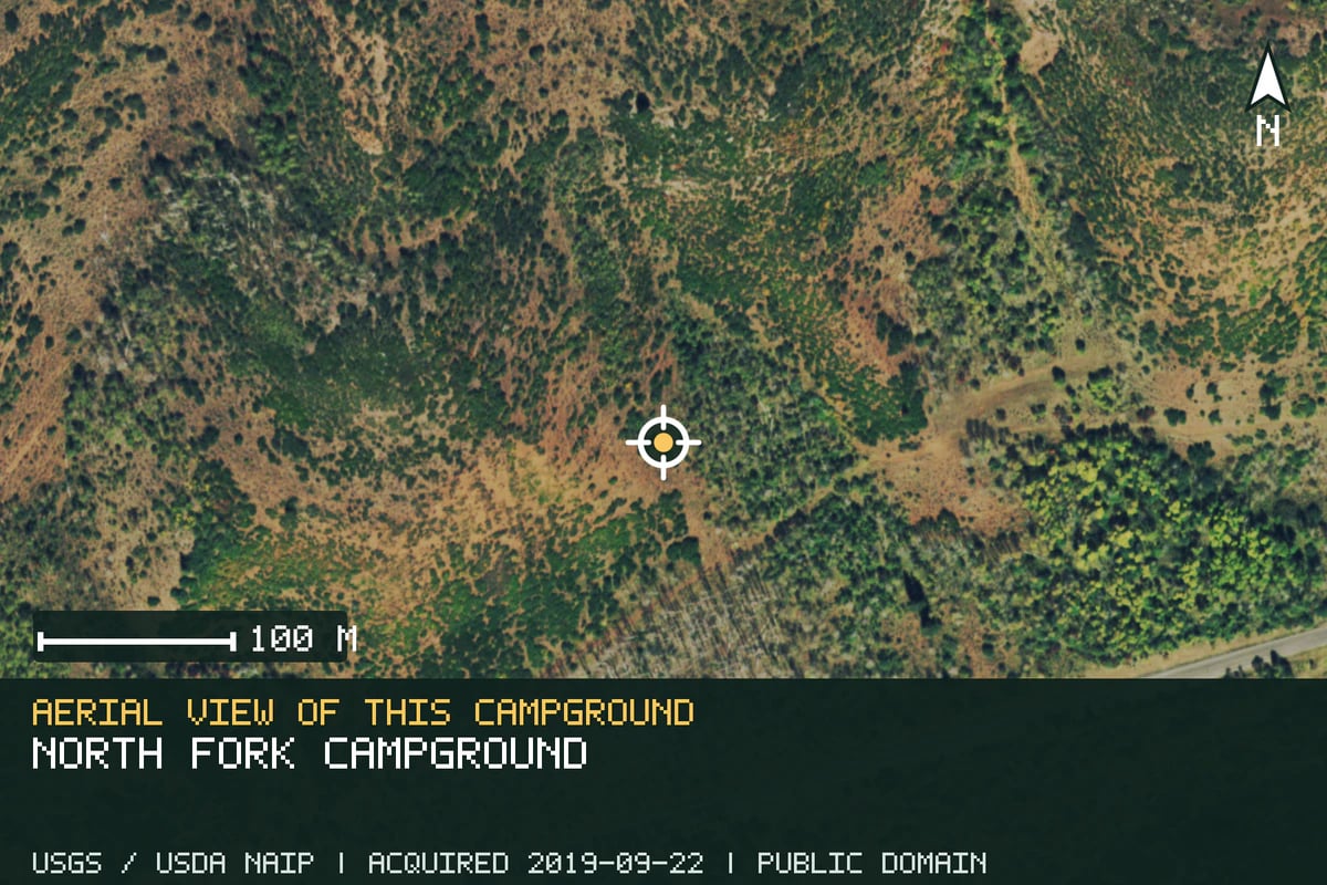
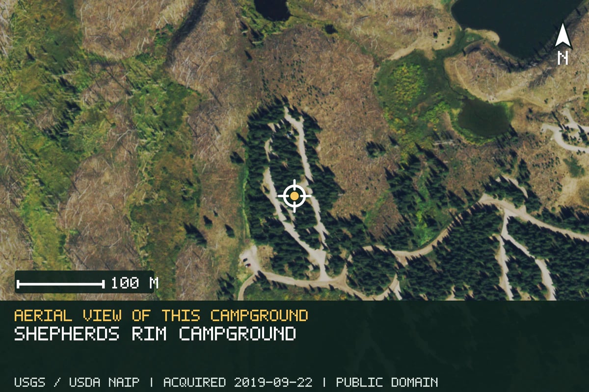
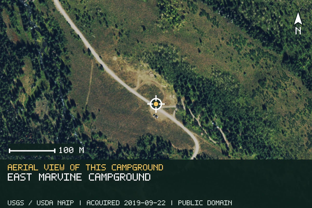
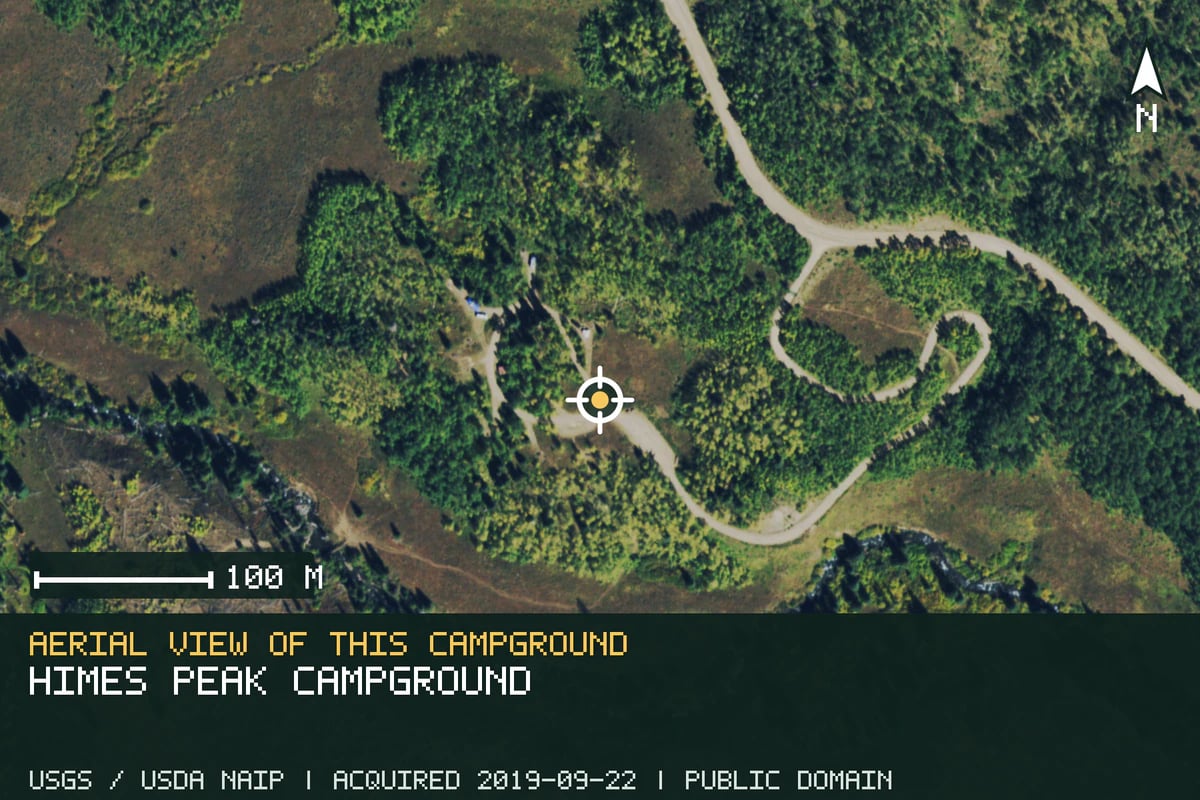
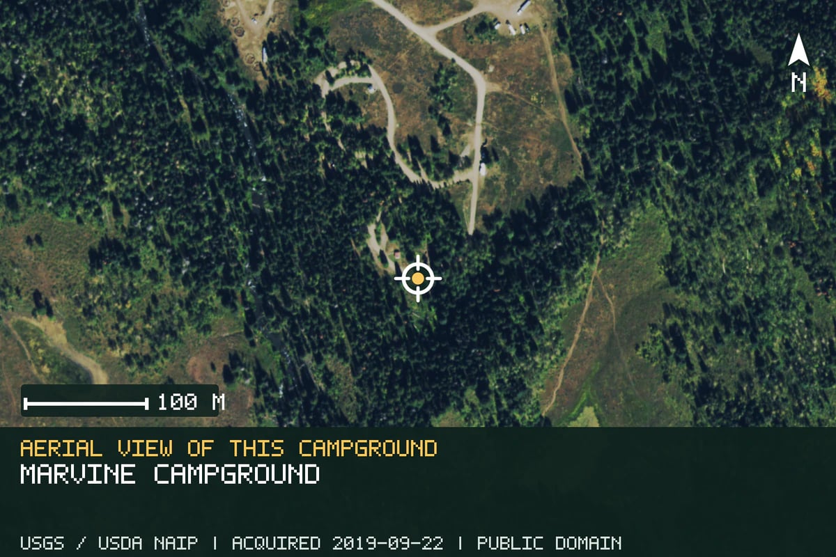 Aerial view of this campground
Imagery acquired 2019Source: USGS / USDA NAIP ↗Terms: Public domain U.S. government imagery ↗
Open official campground information ↗Marvine Campground
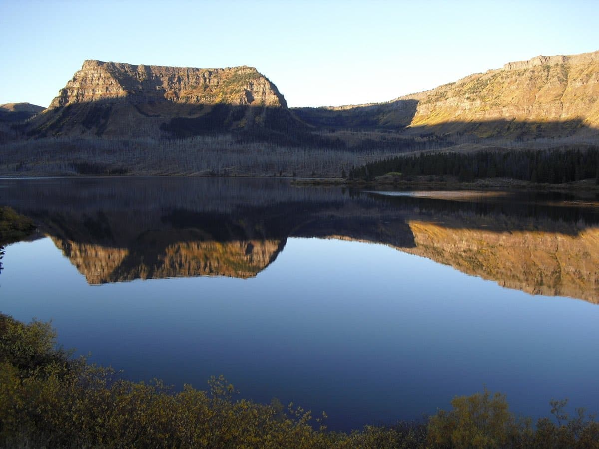
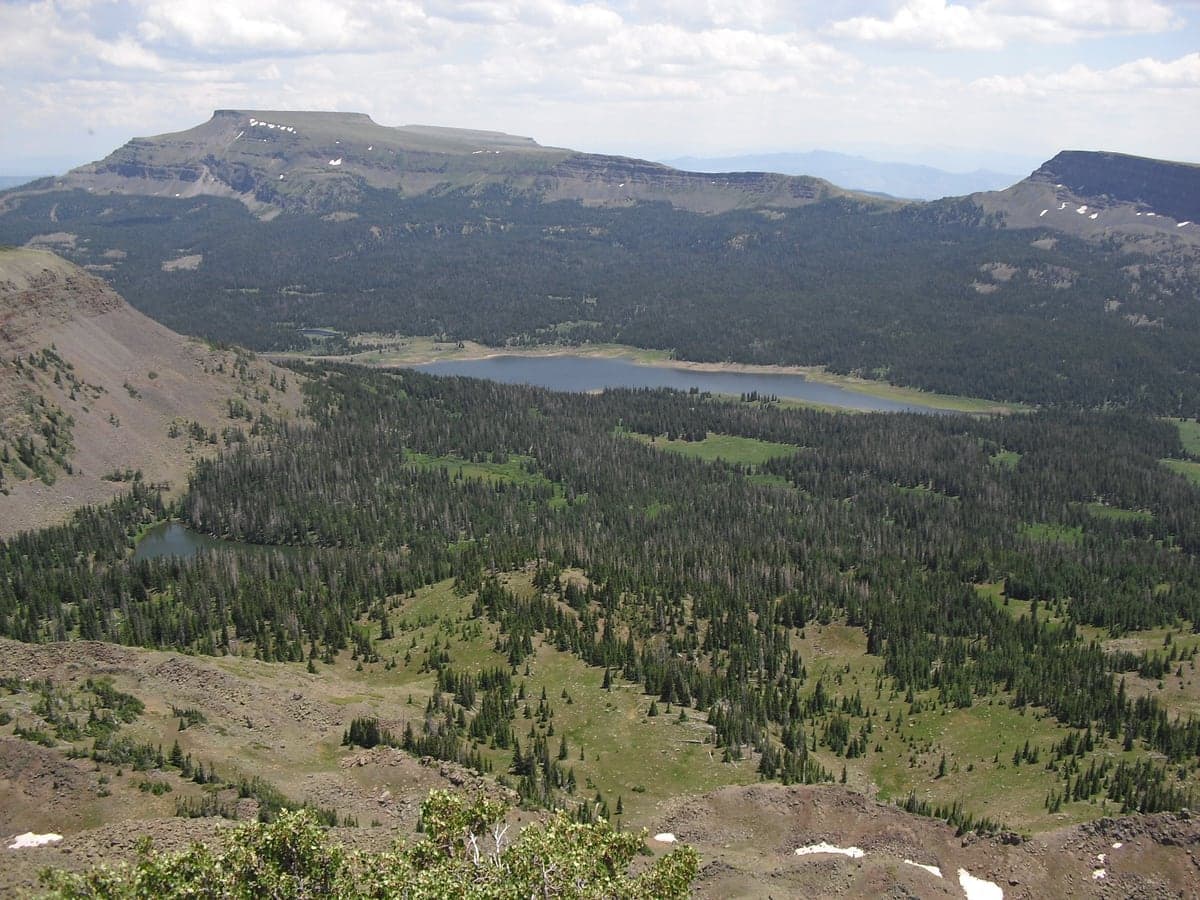
A wilderness-trail base about 35 miles east of Meeker, with access toward the Flat Tops and Marvine Lakes.
ReservableRegular carToilets
Important details
Managed by: U.S. Forest Service
Access: Regular-car access; check current road conditions
The official listing reported a temporary water outage when reviewed, so bring water unless the source confirms service has returned. Add the 35-mile approach beyond Meeker and verify seasonal access.
Trip readiness: No trip date selected; operating season, campsite availability, and date-specific conditions were not checked.
Before you go
- Check your dates and reserve if needed.
- Check current road, fire and weather conditions.
- Choose a legal backup before leaving.